Unpredictable Atmosphere
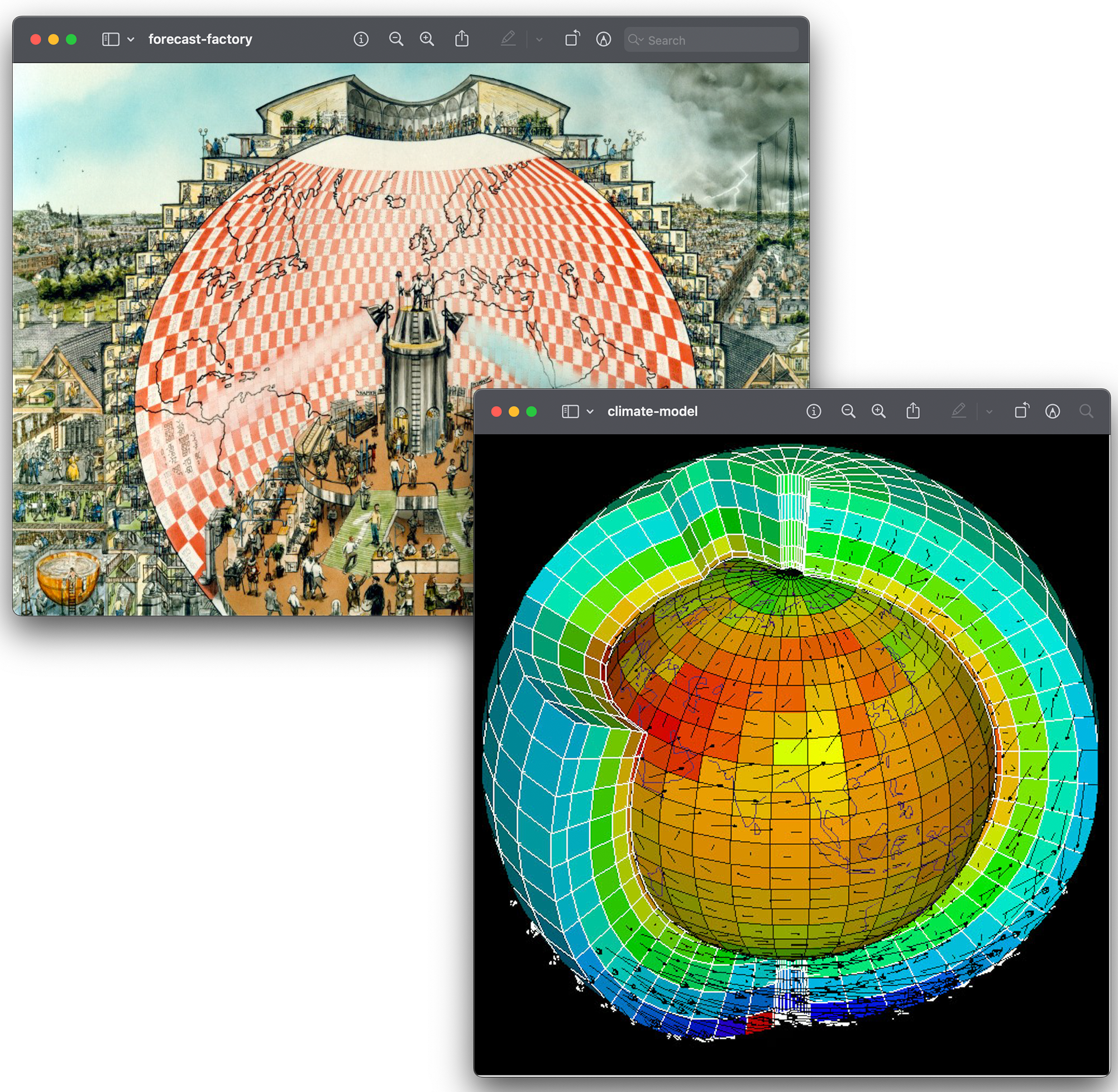
The atmosphere, much like an architectural object, functions as a data center, holding a geological record of its transformation and sedimenting the traces of technological residues.
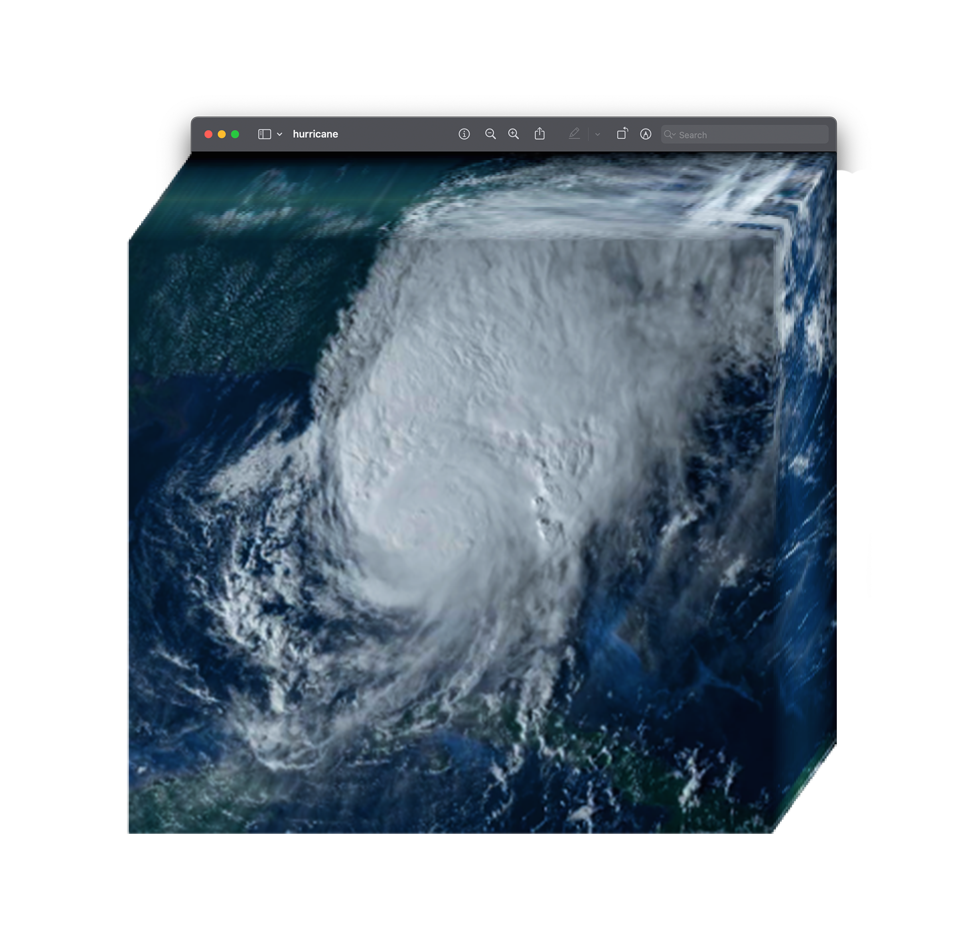
Hurricanes, which unfold in slow motion as disruptive formations of water vapor, push the atmosphere—and, by extension, the earth, lives, and markets—to their breaking point.
Through an accurate architecture of forecasting that collects essential weather and climate data, we can predict extreme weather events using climate models. These models are mathematical and statistical representations of observed and sensed data, used to computationally simulate weather patterns and predict the future.
Every half-century, a theorized variability in sea surface temperature, known as the Atlantic Multi-decadal Oscillation (AMO), shifts the average temperature from warm (positive) to cool (negative) over the Atlantic Ocean. This oscillation, continuous and harmonic, influences patterns of global climate change: it changes the frequency of rainfall and droughts, modulates glacier mass melting, and affects the frequency of storms and hurricanes.
We entered in a positive phase of the AMO almost 25 years ago, marking the midpoint of the cycle, and the number of storms that can mature into extreme hurricanes has doubled compared to previous phases. The weather we have observed since the last shift is shaping future predictions over the next century.
In the vast machine of weather calculation, hurricanes are outliers—data points or observations that deviate significantly from the overall pattern of a dataset. They are isolated, unique, and anomalous in their statistical attributes, and because of this nature, they tend to be ignored in the training process of new AI foundation models for weather prediction.
This project introduces a counter-modeling practice: an alternative mode of computing that challenges dominant paradigms of spatial representation and knowledge production.
In an age where humans and machines are deeply entangled in the making, seeing, and reading of images, outliers become a crucial lens through which the past is decoded and the future is envisioned.
Unlike conventional models, this is a reverse engineering climate model that has been fed exclusively with outliers—all the hurricanes since the beginning of the positive shift that have deviated from statistical norms: fastest intensification, unexpected tornado spawning, coastal impacts, costliest and deadliest events.
By examining the rapid evolution of computational technologies from the early 19th century to the rise of Artificial Intelligence (AI) and Web3, this study highlights the growing tension between the desire for speed and power in technological infrastructure and the unpredictability of climate forecasting.
Developed in response to the current critical political climate where open public online repositories of environmental datasets are increasingly censored or removed from Internet to obstruct climate action, this model is deliberately hosted and deployed on the Internet as a digital commons where computation actively engages with physical, spatial, and planetary forces.
By privileging counter methods, this model offers infinite combinations for indeterminate futures. Spanning the history of atmospheric sensing—from earth-anchored radar, to orbiting satellites and aircraft sensors, to cloud-based AI simulations—this model compresses and extrudes spatial knowledge into a synthetic atmosphere, while functioning as an archive: a generative interface between front-end visualizations and back-end calculations, between historical residue and future speculation that registers, accumulates, and generates its own transformations.